
LOUISVILLE, Ky. (WDRB) — Strong storms swept through Kentuckiana Monday evening and brought heavy flooding and damage in parts of the area.
IMAGES | Severe storms sweep through Kentucky and southern Indiana, causing damage and flooding

Low cloud coverage in Peaks Mill, Kentucky. (Photo sent by Anita Skeen Manley)
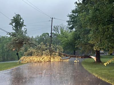
A tree blocking the road in Crestwood, Kentucky near Yew Dell Gardens. (Photo sent by Josh Jeanette)

Flooding with a car submerged on 7th and Oak Street in Louisville, Kentucky. (WDRB Photo)
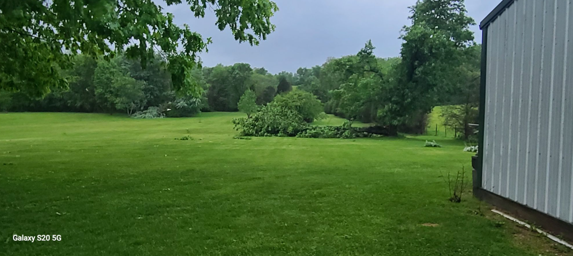
A tree down in Floyd Knobs, Indiana. (Photo sent by Tina Gullett)
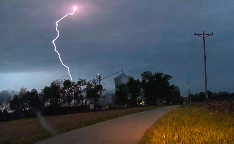
Lightning in Shelby County, Kentucky. (Photo courtesy of Storm_101 on X)

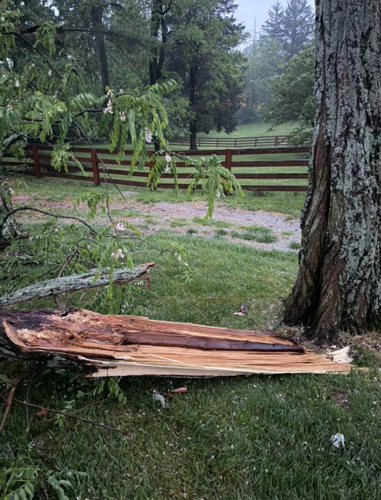
Damage in Prospect, Kentucky. (Photo sent by Sharon Callahan)

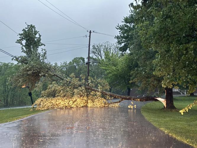
A tree down off Chamberlain Lane in Louisville, Kentucky. (Photo courtesy of Michael W. Krieger on X)
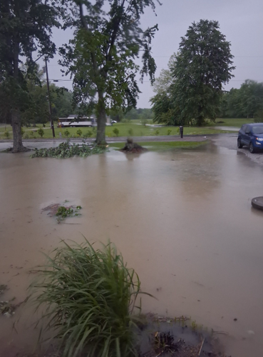
Flooding in Uniontown, Kentucky. (Photo sent by Jessica Stroud)
A tree down in Oldham County, Kentucky. (Photo sent by Cody Parks)

A tree down in Sellersburg, Indiana. (Photo sent by Bradley Dunn)
The National Weather Service issued a Flash Flood Warning for many counties in and around Louisville. Heavy rain flooded several streets in the area, resulting in some water rescues, including one in which two cars got suck near at 7th Street Road and Noble Place in Shively. Water was up to the windows of the car by the time first responders arrived.
After initial surveys Tuesday, the NWS said an EF0 tornado touched down in northwest Hart County, just east of Millerstown. The tornado had a maximum wind speed near 80 mph.
The NWS also determined an EF-1 tornado hit north of Cortland, Indiana. That's in Jackson County and northwest of Seymour.
Weather Forecast | Live Cams | Radar | Share Photos & Videos
Stay weather aware with WDRB. Download the WDRB News, WDRB+ and WDRB Weather apps to your smartphone or devices for alerts and immediate information. Click here for links to the app stores.
Copyright 2026 WDRB Media. All Rights Reserved.


